

Our Local Government Area
The Councils area spans 201,000 square kilometres – almost three times the size of Tasmania – making Council’s operational footprint one of the largest in the Northern Territory.
The regional boundary runs from the Southern side of the Kakadu escarpment to the Northern edge of the Barkly Tablelands, and from the Western fringe of the Stuart Highway to the Gulf of Carpentaria and Queensland border. More than 700 kilometres of coastline runs along the eastern edge of the Local Government Area.
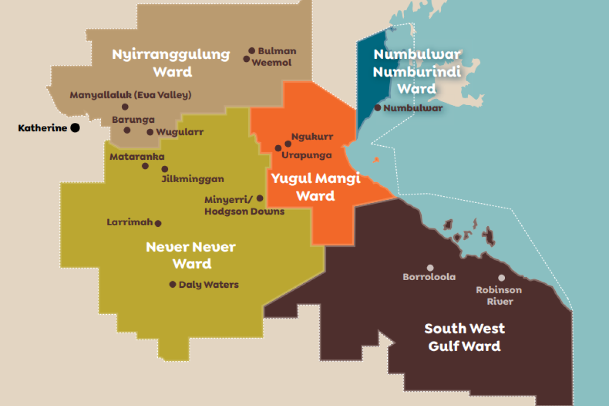
There are five Wards that make up the Roper Gulf region - Never Never, Numbulwar-Numburindi, Nyirranggulung, South West Gulf and Yugul Mangi.
Within these Wards are 14 townships and remote indigenous communities that our Council services.
Page last updated on
17 August 2023